

MAPPOINT MAP GALLERY
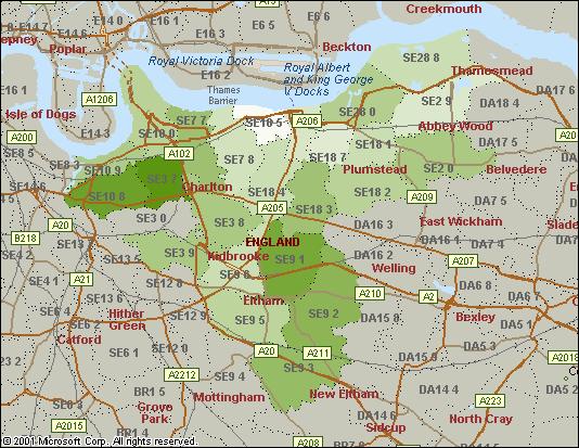
District of Greenwich: Annual Household Income
(click on the image to view the full screenshot)
This is a map of mean annual household income for the postcode sectors which approximate to the local authority District of Greenwich. (Government admin boundaries are not part of Mappoint 2002.) The income data is imported not from within the package. For more information contact CACI Limited.