
MAPPOINT MAP GALLERY
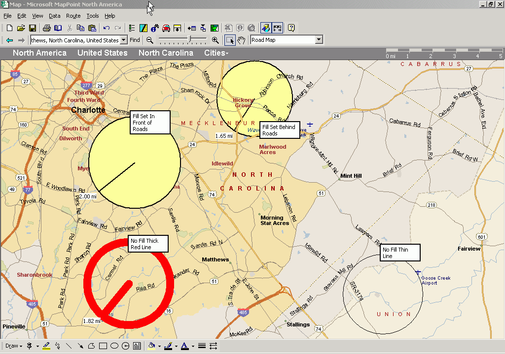
Radii Around Charlotte, NC
(click on the image to view the full screenshot)
This is a demonstration of the radii drawing capability of MapPoint 2004.
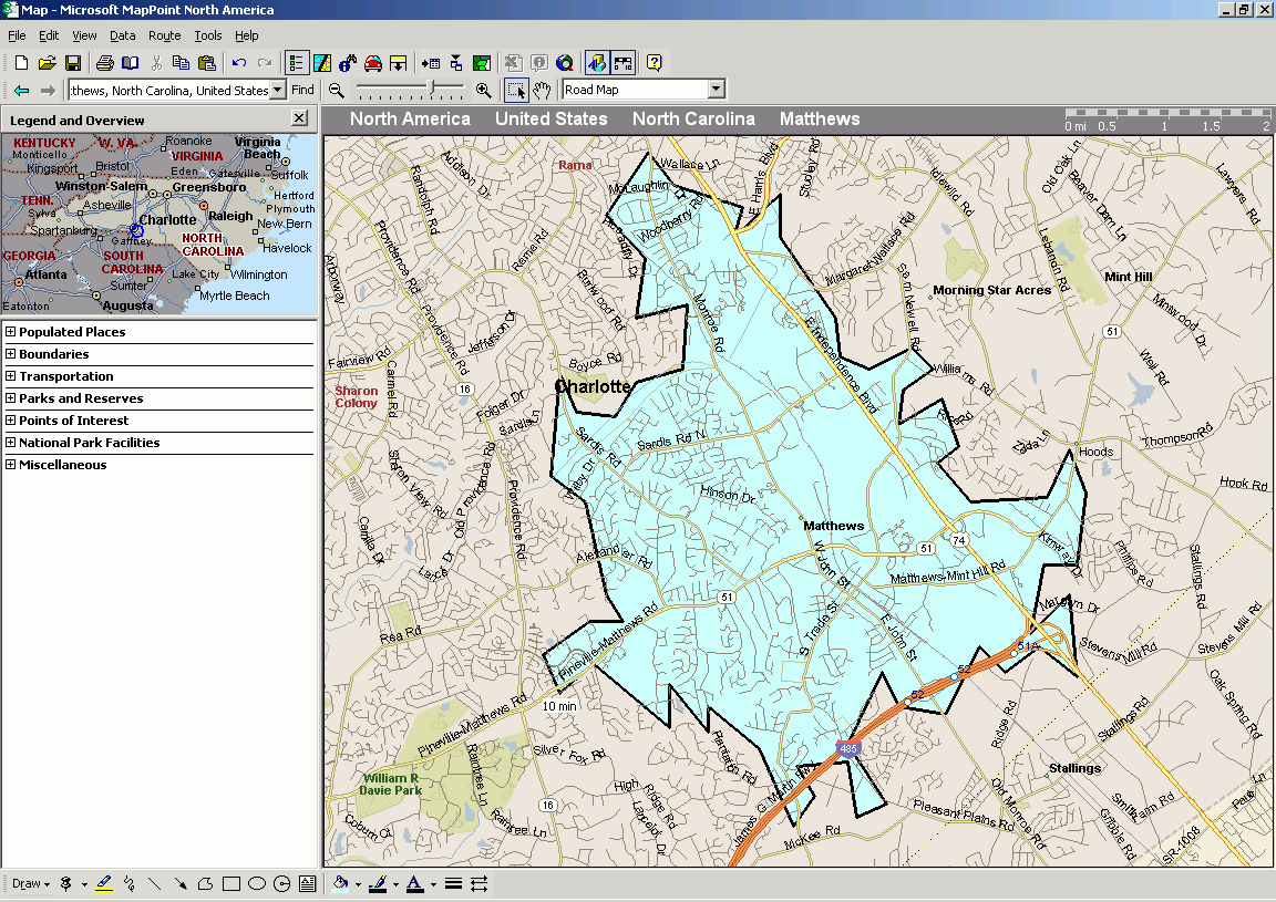
MapPoint also has the capability of drawing drivetime zones showing the area within which a person could travel within a specified period of time. Here is an example: