

MAPPOINT MAP GALLERY
Parkfield, CA Earthquake
(click on the image to view the full screenshot)
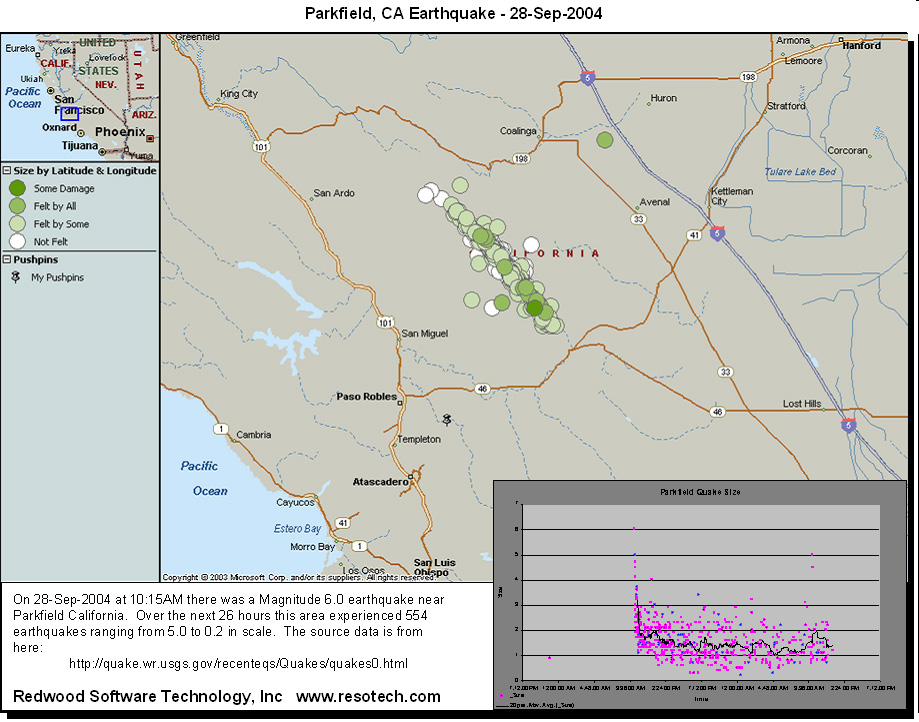
On September 28, 2004 there was a magnitude 6.0 earthquake near Parkfield, CA. Over the next 26 hours the surrounding area experienced 554 additional earthquakes.
This picture shows the location of the earthquakes and display how Excel Graphs and MS MapPoint data can be combined to make an effective presentation of a set of location based data.