Learn MapPoint
Find out how to use Microsoft MapPoint 2013 quickly and effectively from Tutorials in our newsletters, the Tips & Tricks section, articles, and by asking questions and participating in our free public web forum for MapPoint.


In this new article we show how to use MapPoint to calculate a distance matrix between locations in an Access table.

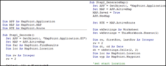
Learn how to geocode a set of address in a Microsoft Access table using MapPoint 2013.

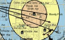
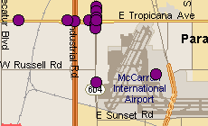
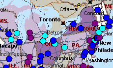
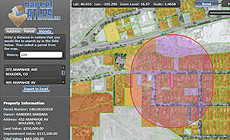
A new MapPoint Gallery item: "This map visualizes a supply chain (CA only) with delivery addresses, showing cluster analysis and subsequent drive time zones from the newly found clusters to show the catch areas."

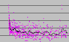
In this two-part article we explore the MPCluster MapPoint COM Add-in and applications.

A new feature in MapPoint 2013 is the ability to to toggle on/off the display of Pushpin Names...

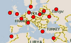
Importing GIS boundary files such as Greek Prefectures into MapPoint...

From our TIPS & TRICKS archive: If you set some data value or number as the Name during the Import Data Wizard steps, it's possible to display the number on the map...
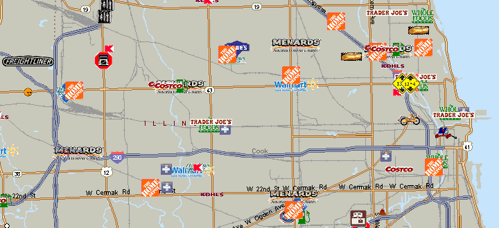
An update to the popular POI Mega File as been released by MSStreets.com. The file has been converted for use in MapPoint 2013 and can be downloaded here. See list of all datasets in the POI Megafile as well as available detailed information for each dataset...
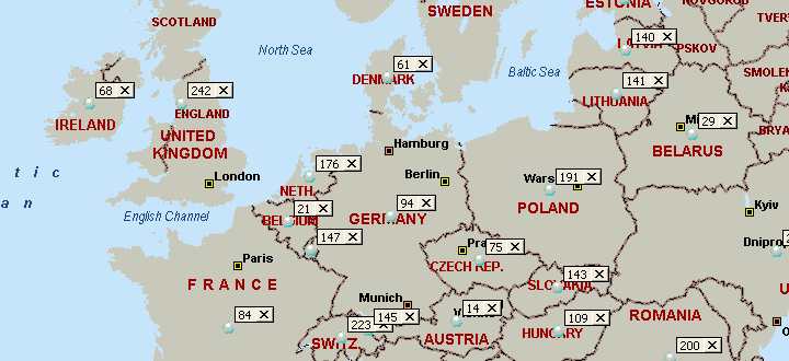
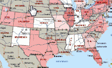
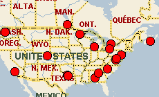
In response to a question about documentation for MapPoint's built-in Country codes on MapForums.com, we list the entire table and prepared this map...
Find out how to use Microsoft MapPoint 2013 quickly and effectively from Tutorials in our newsletters, the Tips & Tricks section, articles, and by asking questions and participating in our free public web forum for MapPoint.
Integrate MapPoint into your business processes. Review code samples from articles, the Development section of the forum and the MapForums Downloads section which contains dozens of useful MapPoint tools and utilities with full source code.